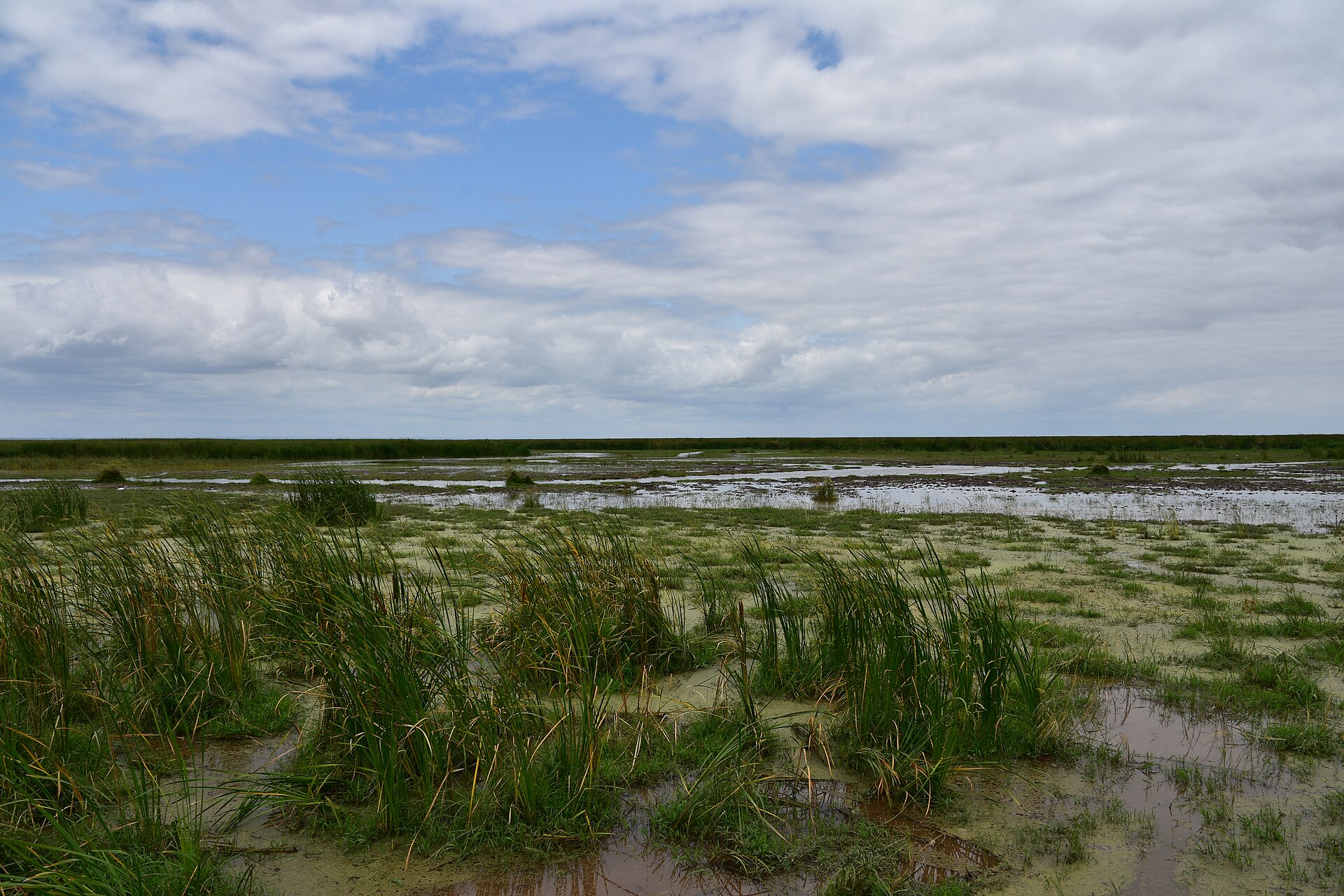

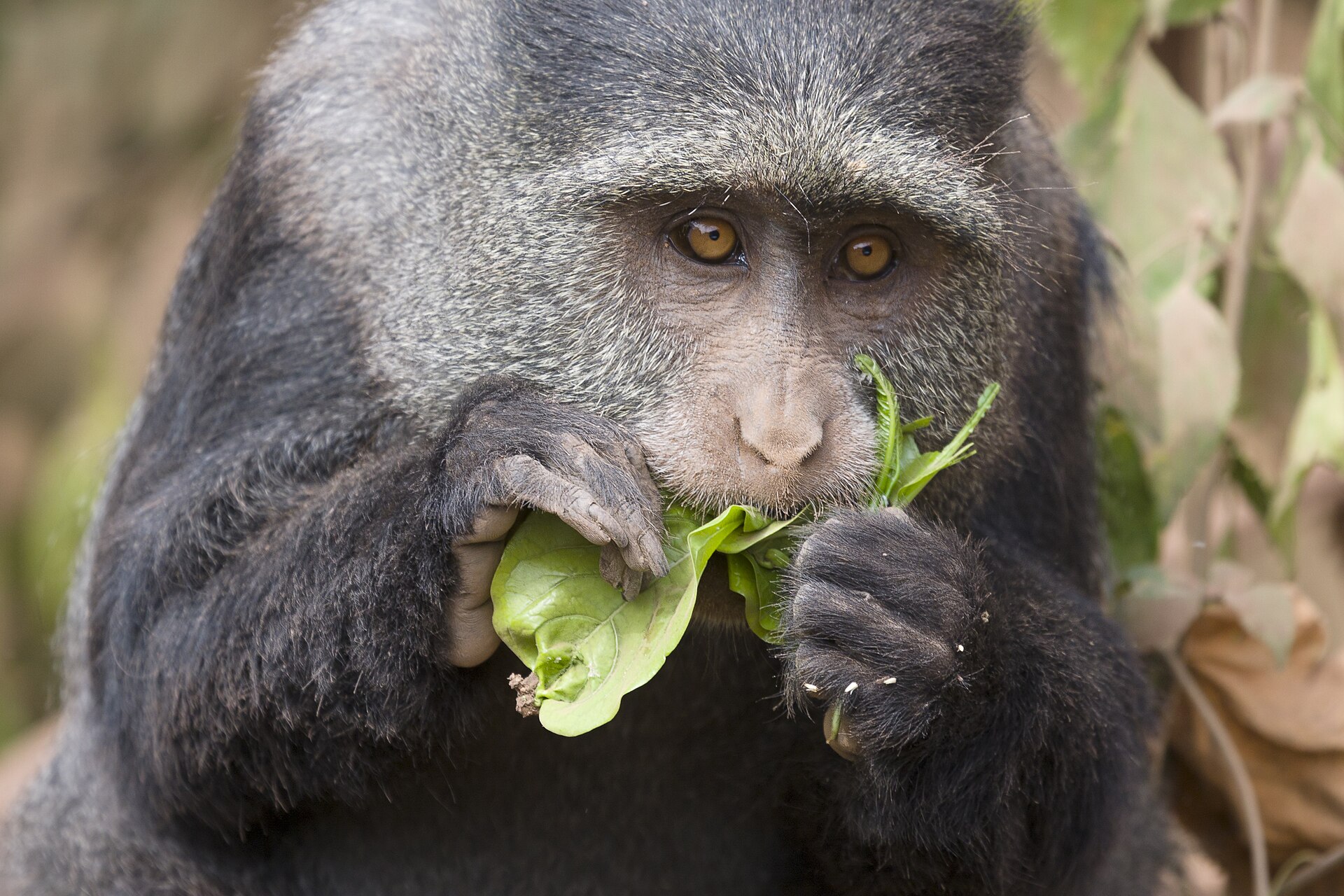

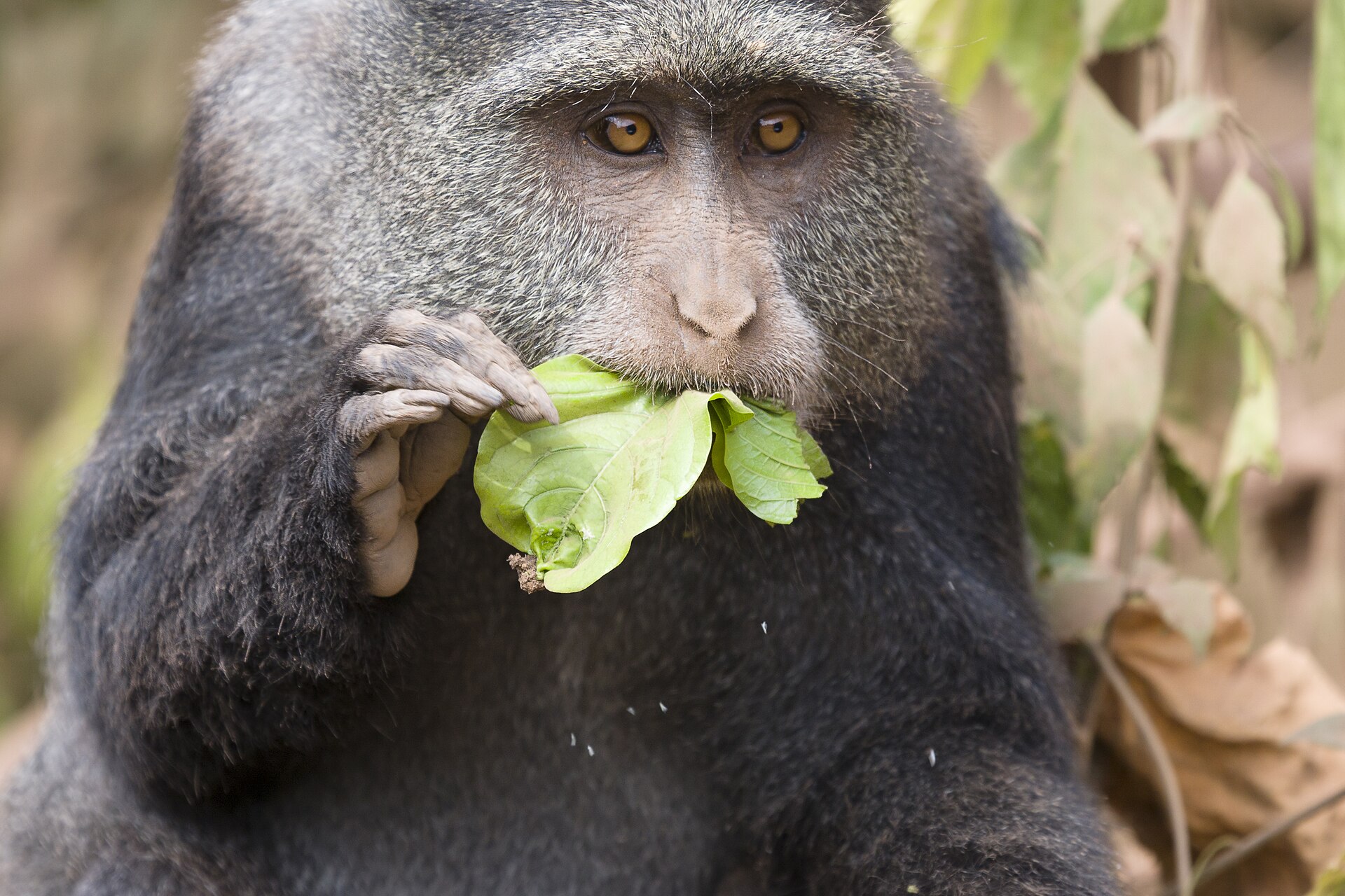


2 days / 1 night
Wildlife Safari
2-Day Lake Manyara & Ngorongoro Explorer
Groundwater forest, flamingo flats and the Rift Valley escarpment at Lake Manyara, followed by a full crater floor game drive in the Ngorong...
From
From $860 per person

3 days / 2 nights
Wildlife Safari
3-Day Tarangire, Ngorongoro & Lake Manyara Trio
Three northern circuit parks in three days without the long Serengeti drive: Tarangire’s elephants, the Ngorongoro Crater floor and Lake Man...
From
From $1,180 per person
5 days / 4 nights
Wildlife Safari
5-Day Best of Tanzania Wildlife Safari
Four northern circuit parks across five days, adding Lake Manyara to the classic Tarangire, Serengeti and Ngorongoro sequence without shorte...
From
From $2,150 per person

6 days / 5 nights
Wildlife Safari, Culture
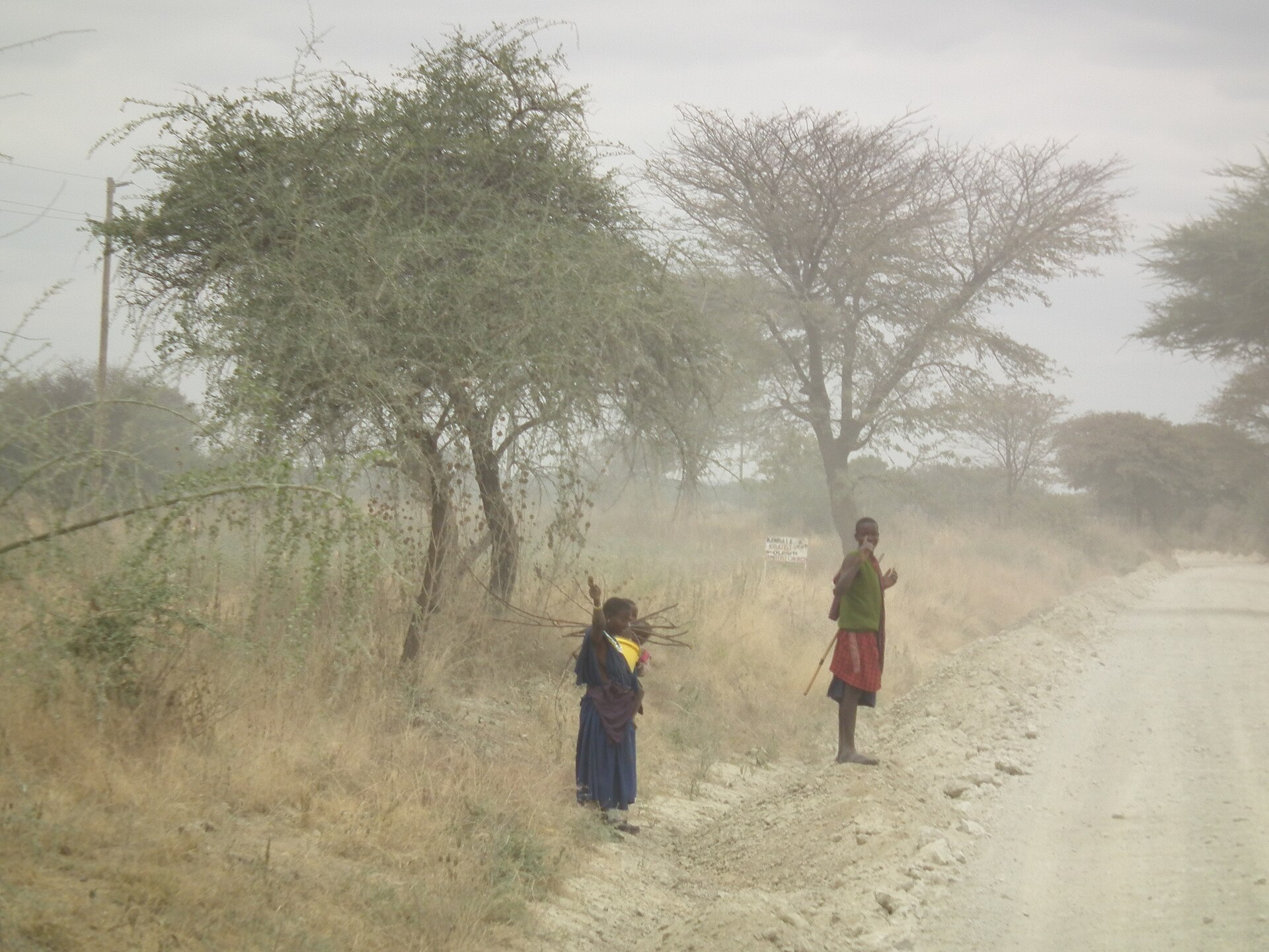
6-Day Northern Circuit Wildlife & Cultural Safari
The full northern circuit with a dedicated cultural day covering Maasai pastoralism, the Iraqw farming highlands and the Mto wa Mbu market c...
From
From $2,480 per person
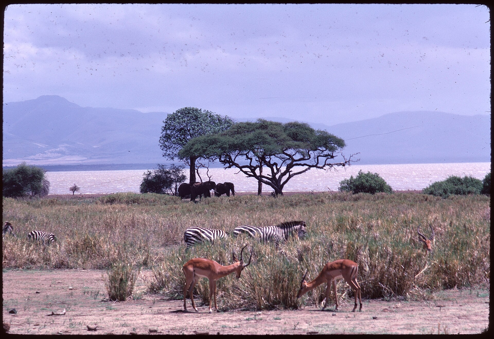
8 days / 7 nights
Wildlife Safari
8-Day Family Adventure Safari (Tarangire, Manyara, Serengeti, Ngorongoro)
The northern circuit paced for families, with shorter driving days, lodges with pools, and activities beyond game drives to keep younger tra...
From
From $3,480 per person

14 days / 13 nights
Wildlife Safari
14-Day Ultimate Grand Tanzania Wildlife Circuit
Two weeks covering the entire northern circuit and the southern parks, with four Serengeti nights, boat and walking safaris on the Rufiji an...
From
From $7,800 per person